
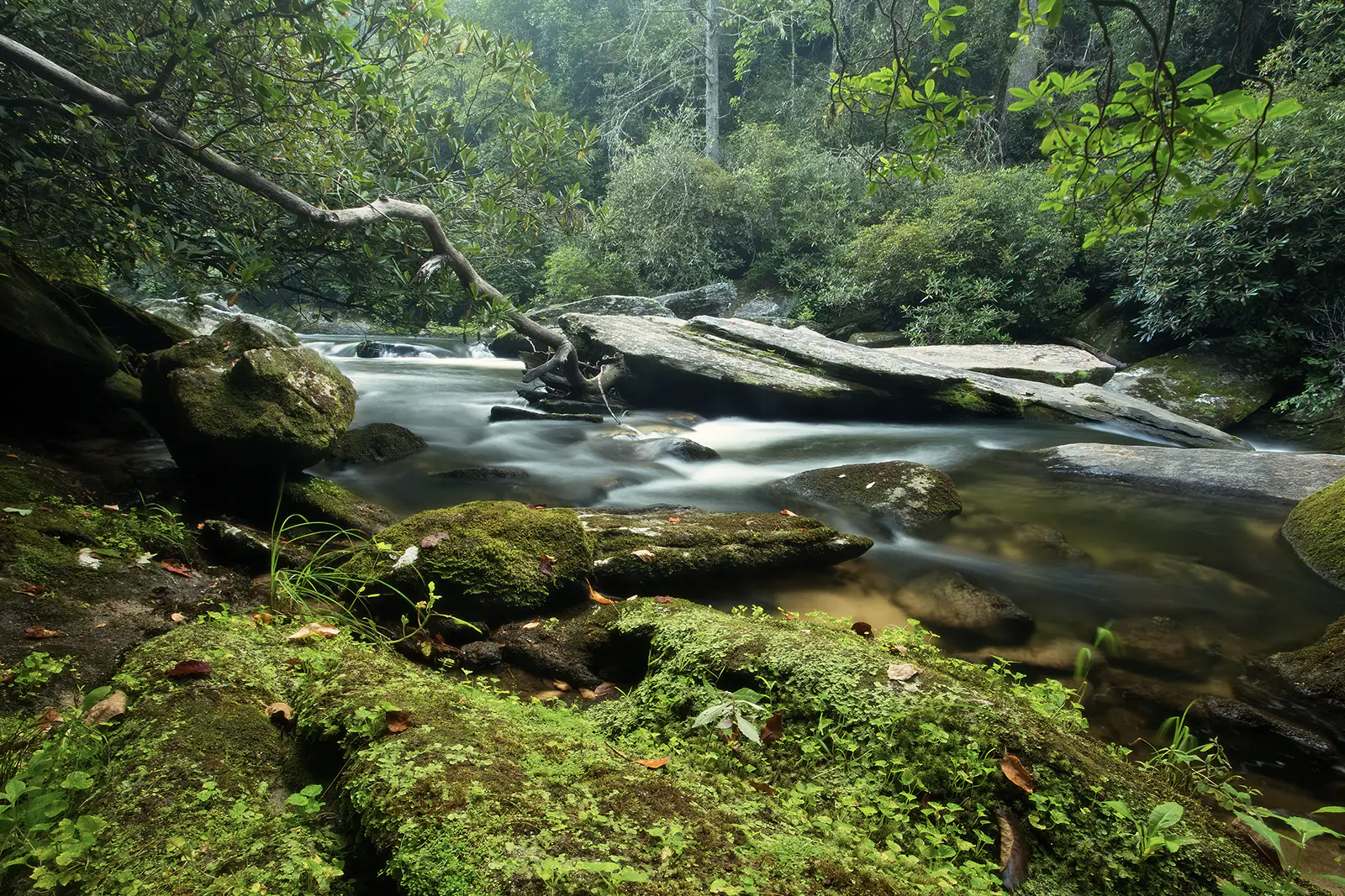

The Oconaluftee River is another of the alluring freestone waters in western North Carolina. The unique name of this river is derived from the name of a Cherokee village, Egwanulti, which was established along the banks of the river before Europeans arrived in western North Carolina. The Luftee, as it is often called, forms north of Cherokee, near Newfound Gap (elevation 5,048) in the Great Smoky Mountains National Park (GSMNP).
Fish Species
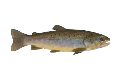
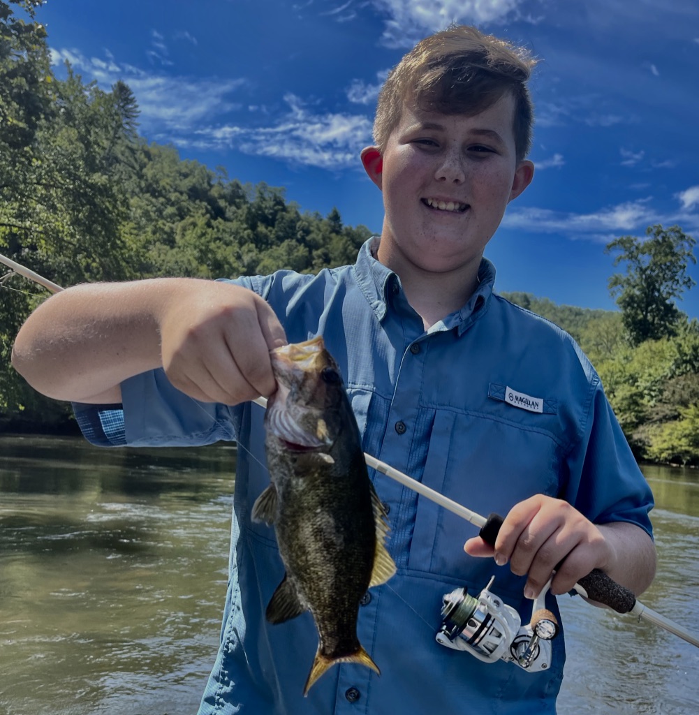
Brook Trout
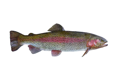
Rainbow Trout

Brown Trout
What's Special About This Water?
The river is large relative to most streams in the park. It flows south and west, merging with Raven Fork in Cherokee and ultimately flowing into the Tuckasegee River a bit east of Bryson City. The river is only about 10 miles in total length but drops a dramatic 2,000 feet in elevation along its span, which results in spectacular, fast-moving water.
There are two primary portions of the Oconaluftee: the upper portion, which flows through the Great Smoky Mountains National Park, and the lower, which flows through the Qualla Boundary (the Reservation of the Eastern Band of the Cherokee). The river is considered sacred water by the Cherokee people.
The Luftee is one of the most accessible rivers in the area. This is particularly true in the lower portion of the Qualla Boundary, where you can stroll the wide and flat Oconaluftee Trail which follows the river. Access in the GSMNP varies based on location and elevation, but there are many paths to the water.

Best Time to Fish
The Oconaluftee is a year-round fishery. Like most streams in the Smokies, it is often quite productive in the spring. Even in the heat of summer, the fast-moving waters of the Luftee remain cool, so it’s an ideal spot to walk and wade in the hotter months. Walking the Oconaluftee Trail during the fall foliage is awe-inspiring, and the fish are especially active in the river. A mild winter afternoon fishing on the lower reaches is easy, and the weather may be a bit more predictable in Cherokee than in the higher elevations of the Luftee within the GSMNP.

Trip Planning
There is something for the entire family near the Oconaluftee River. Since the river flows right through the city of Cherokee, there are plenty of options for lodging and restaurants, including the very nice hotel at Harrah’s Cherokee Casino Resort. For more modest accommodations, there are multiple campgrounds in the area and lots of motels. The scenery is stunning, especially along the Blue Ridge Parkway, which you can access a few miles from Cherokee. The Oconaluftee River Trail is an easy walk and is one of only two trails in the GSMNP that allow bikes and pets as well as walking and hiking. The Museum of the Cherokee Indian is a great local resource and a must-see.
Latest Fishing Reports

Additional Information
Technique and Tips
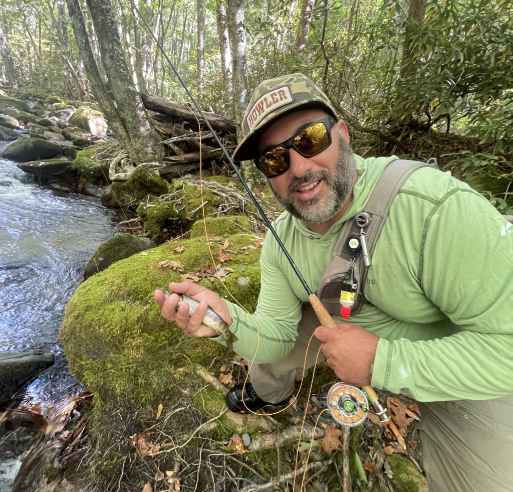
Like most streams in the Smokies, casting space can be tight upstream, so roll casting and bow-and-arrow casting are common techniques. The lower reaches of the Luftee offer lots of areas with ample room for casting. Euro nymphing is also a technique that works extremely well on the Luftee, as with most streams in the GSMNP.
Go-To Flies
We fish with wet and dry flies in the river and occasionally small streamers.
Types of Trips
We guide walk-and-wade trips on the Luftee.
License Requirements
For the GSMNP portion of the Luftee, you will need a North Carolina or Tennessee fishing license. For the lower portion of Cherokee Reservation lands, you’ll need an Eastern Band of the Cherokee Indians Tribal Enterprise Fishing Permit, which you can purchase at the Eastern Band Online Permitting System (sovsportsnet.net).
Nearby Towns
- Cherokee
- Bryson City
Getting There
Here are a few of the multiple access points along the Oconaluftee:
In the GSMNP:
- Just inside the park boundary, go to the Oconaluftee Visitor’s Center at 1194 Newfound Gap Road / Highway 441, Cherokee, NC 28719, and access the Oconaluftee Trail.
- Continue driving up 441 for multiple easy access points.
In the Qualla Boundary area:
- Check out the Oconaluftee Island Park at 401 Acquoni Road, Cherokee, NC 28719.